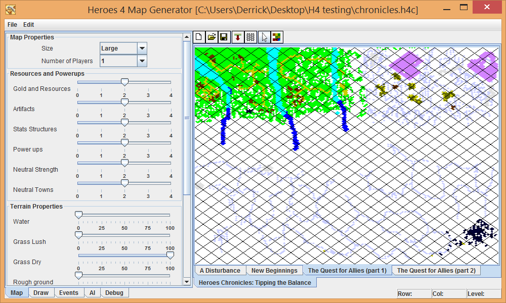
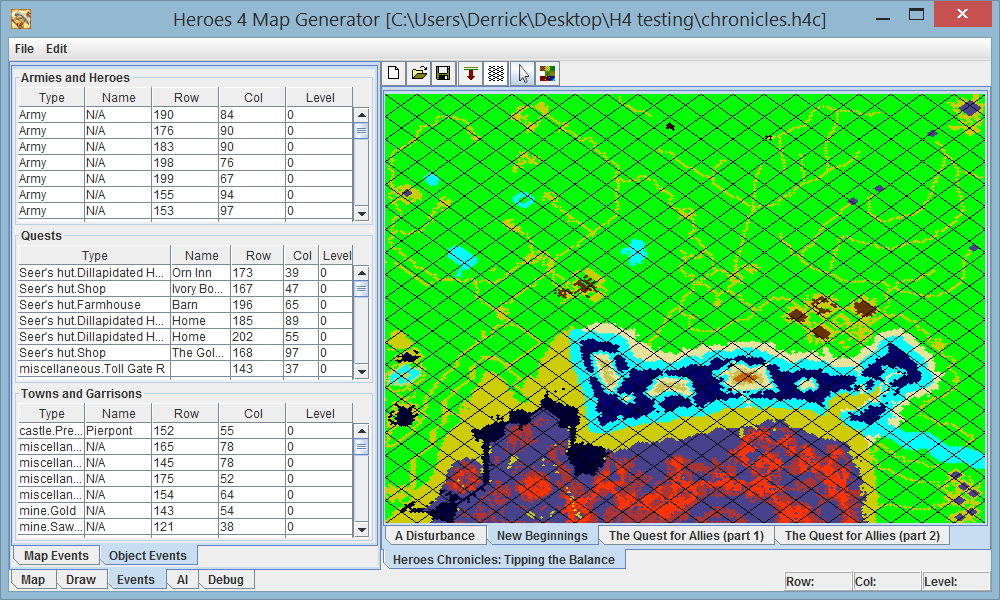
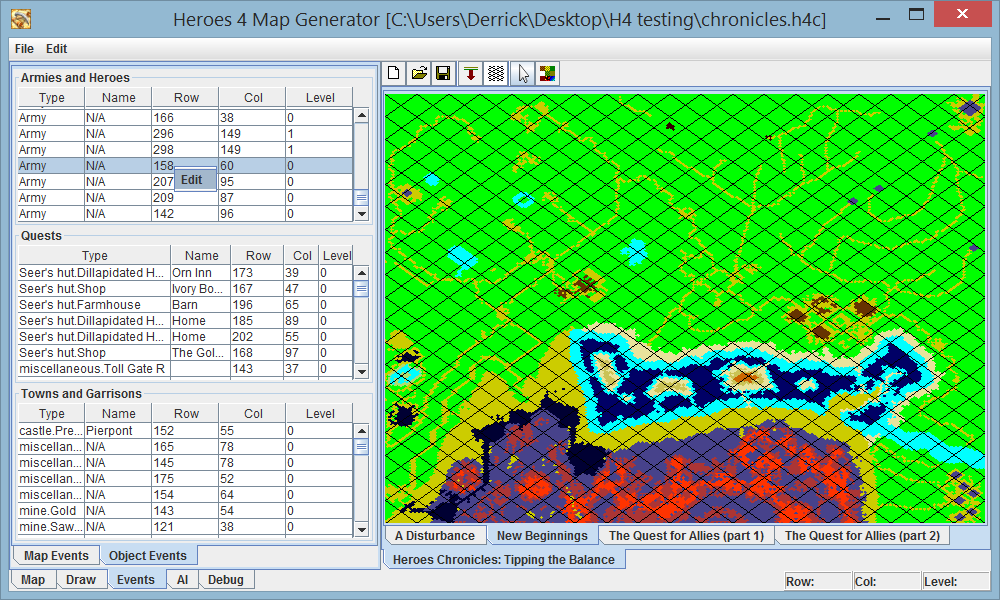
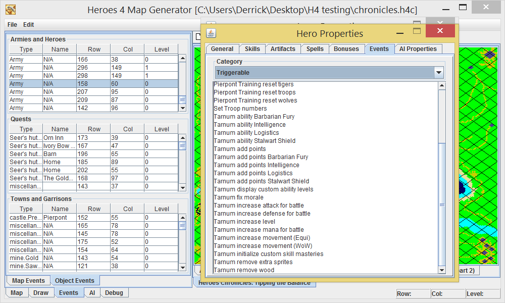
Now, each map is parsed on its own thread. Painting terrain for multiple maps works the same way, each image is drawn on its own thread.
Oh, and before that, I went back to actually parse the campaign header, which I wasn't really doing before. I was just searching for the campaign name and description, but I have since gone through all of the options (hopefully) and documented them. One of the things I found out, which also helped me with some optimizations, was the fact that the end of the campaign header (if a campaign and not single scenario) had a short for the number of maps in the campaign, followed by an integer for each campaign which represented the gzipped size of the map in bytes. If I hadn't found that, I wouldn't be able to actually modify the map, since invalid size values will cause the editor (and probably the game) to crash.
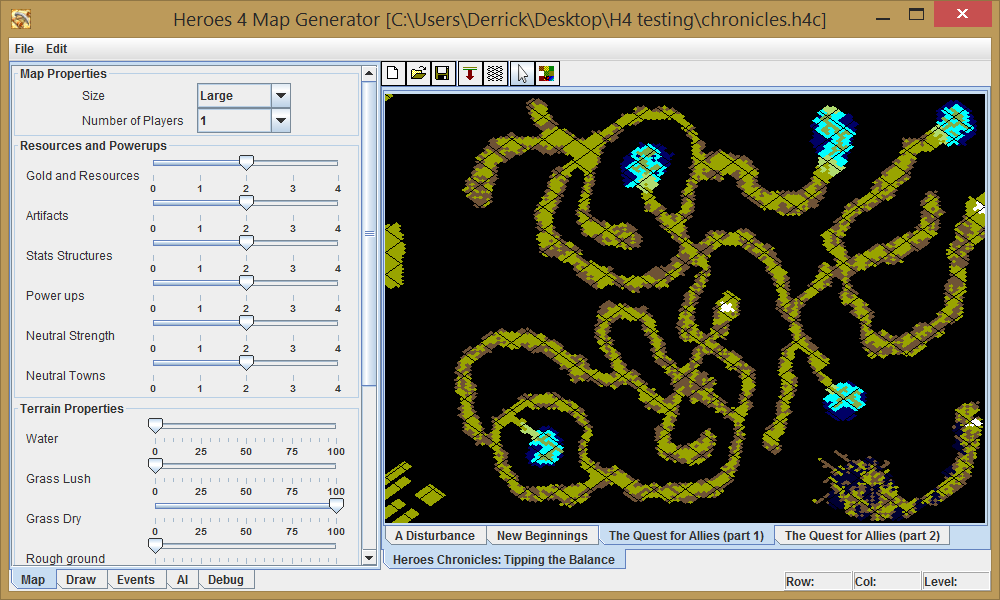
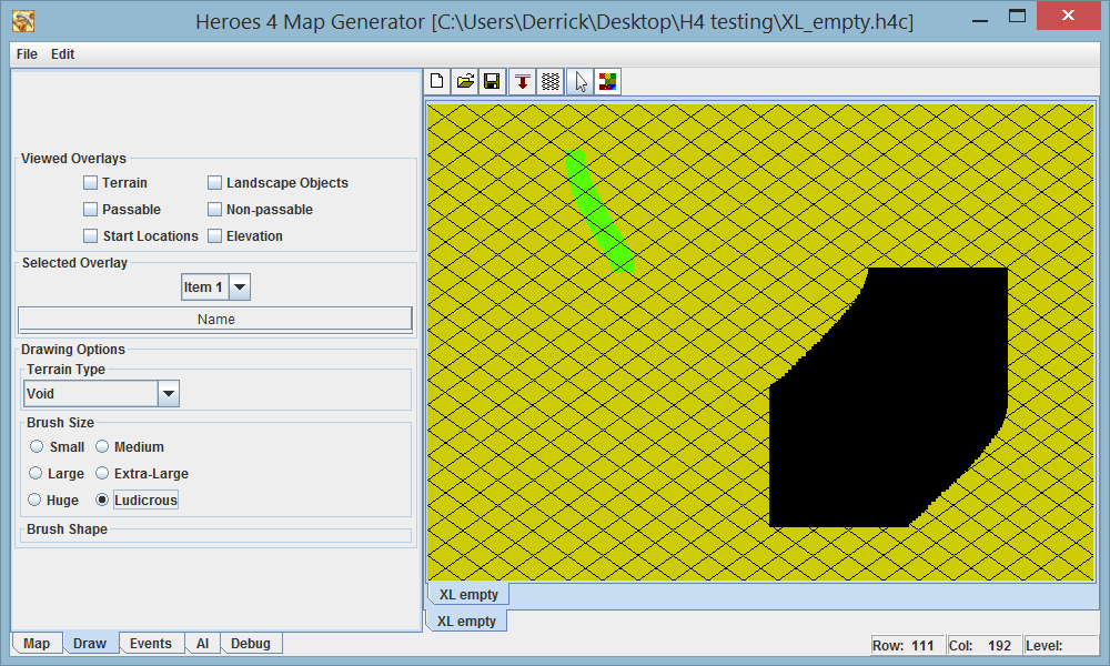
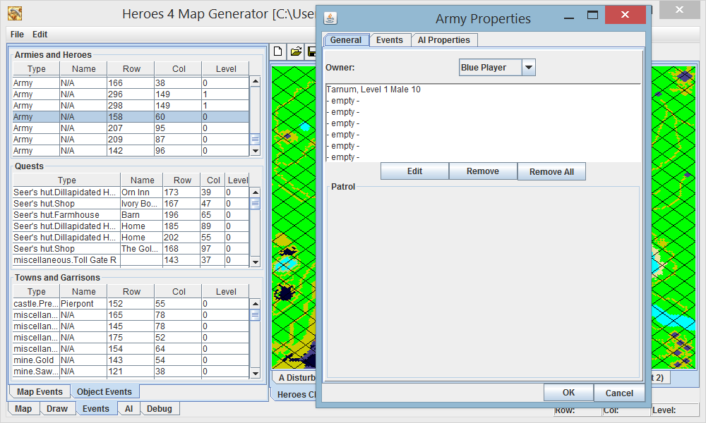
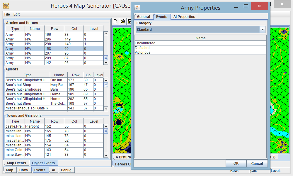
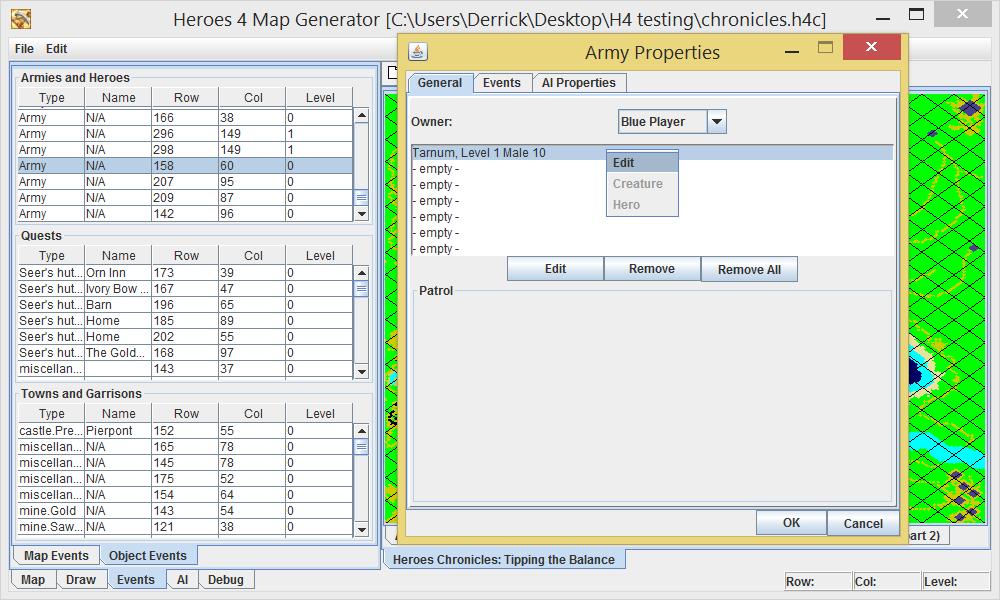
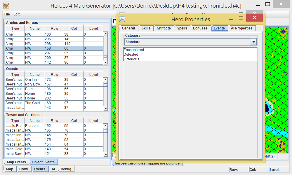
Now that that's out of the way, I've also started working on painting terrain, and I have some screen shots. See the void terrain below
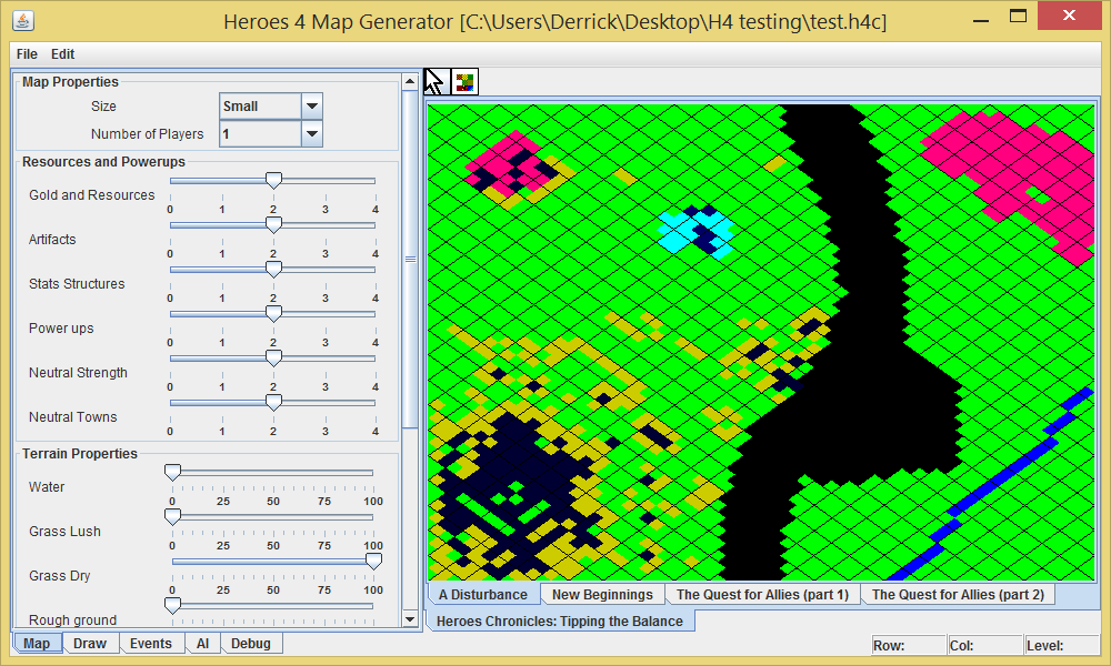
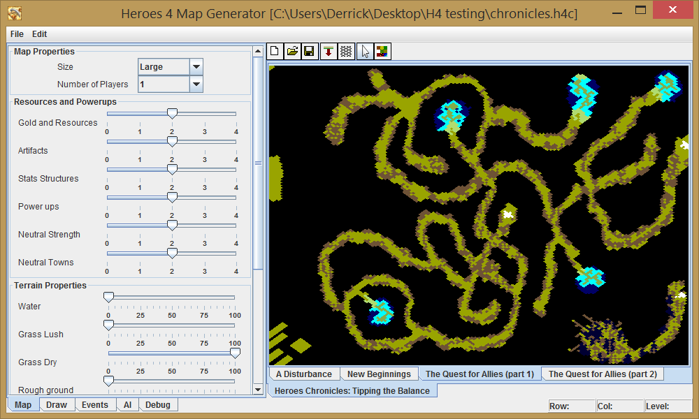
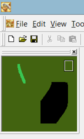
And what it looks like in the editor:
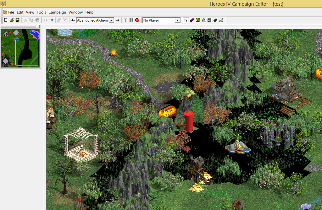
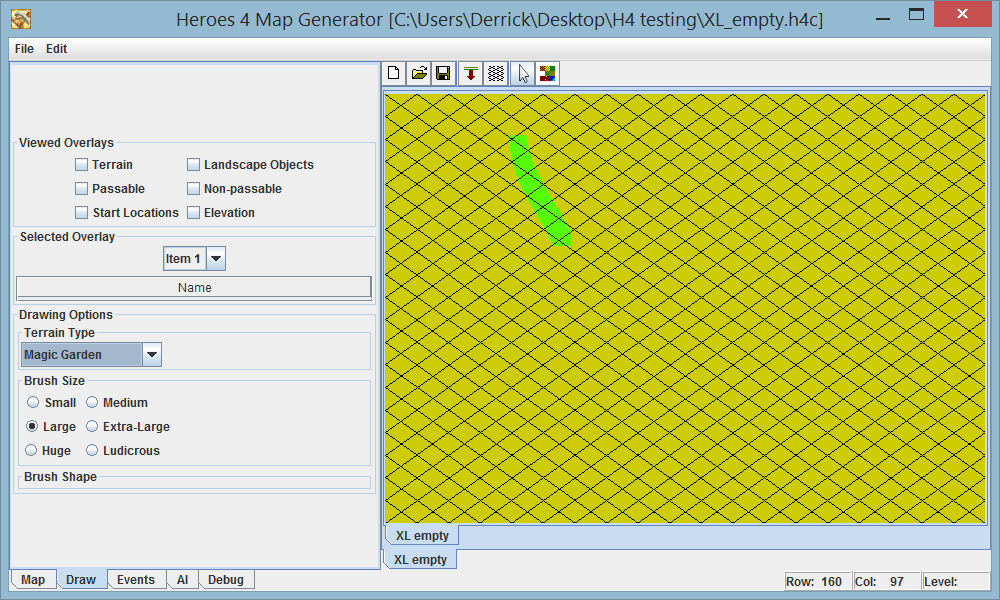
I haven't set things up quite yet to be able to select the terrain type to paint, just hard-coded the type and passed that to the painting method, but that won't take too long. I'm thinking that if the terrain icon is pressed, I'll switch over to the drawing tab, similar to how the campaign editor brings up the terrain options. I'll probably give a few more options, such as brush shape, where the editor only has the square brushes of four sizes.
I seem to be able to paint any type of terrain on any elevation, which is pretty cool
Oh right, and as you can see, I got the grid up and running.


