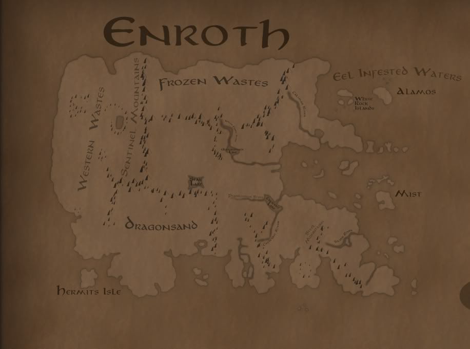
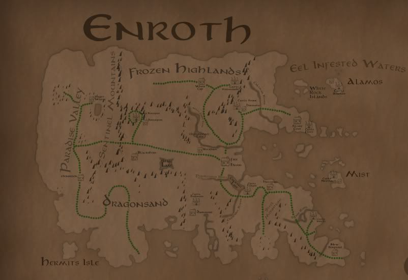
Asomath wrote:It would make sense that this would be the "White Forest" and that the river would in fact be the White Forest River. Would anyone have objections if I marked it as such?
Makes perfect sense to me.

Some more detail on Carator from Heroes II:
Our enemy Archibald has begun to move troops into the mountainous mining regions of the south known as Carator, and we need to oppose him and seize these resources for ourselves. [...] In return for your aid, Rocklin has promised you the unconditional support of the dwarfs for as long as you should serve me. Already he has sent troops to the Carator mountains in anticipation of your move against Archibald.
Here are many of the named landmarks of Antagarich without any BS:
- Angel Gate
- Avauntnell
- Barrow Downs
- Battlestead
- Bracada Desert
- Bracada Highlands
- Bragden
- Brighton Point
- Cloverfield
- Deyja Moors
- Emerald Hills
- Ferris
- Fire Coast
- Forestbury
- Forestdale
- Forestdon
- Forestlow
- Frostland
- Frostpoint
- Gaia's Crest
- Grainrich
- Griffin Cliff
- Hillbridge
- Ironsand Desert
- Land of the Be-Warned
- Land of the Giants
- Marble Garden
- Marshland
- Minewell
- Moss Valley
- Motten Cliffs
- Mount Nighon
- Racken Cliffs
- Rionpoint
- Shandar River
- Shantanna
- Skyline Bay
- Strongwillow
- Teal River
- Thunderfist Mountain
- Tularean Forest
- Valley of Dagrond
- Wallpeaks
- Watershed Point
- Woodgrove
- Wyvern Plains
For Jadame there is unfortunately much less detail:
- Alvar River
- Shadowspire Mountains
I'll start making images specifying where each of these are. You can see many of them yourself if you have the Heroes III campaign editor. Otherwise, you probably know where a few of them are already.


